

Attack of El Niño?
As winter enthusiasts, we know to watch closely when the terms El Niño and La Niña start getting thrown around, as powerful weather trends can make dreams or break hearts during ski season.
This pre-season, as we watch a so-called “super” El Niño weather pattern developing in 2026, we wonder what it will do for us here in the Southern Alps of New Zealand? You may nostalgically recall the Matchstick Productions (MSP) film “Attack of La Niña”, with stunning footage from one of the deepest winters in North American memory. Could this year be an attack of El Niño for us, with similarly beautiful outcomes in the mountains?
El Niño and La Niña are opposite phases of the El Niño Southern Oscillation, a naturally occurring climate cycle pushed by changes in ocean temperatures and winds across the tropical Pacific. Both phases of the cycle can dominate regional trends and significantly affect temperature and precipitation.
It seems that Harris Mountains Heli-Ski might be in just the right place to make the most of the brewing trend toward a Super El Niño. The Southwest of the New Zealand Southern Alps, where HMH operates, is favoured to benefit from above-average precipitation this year, based on current models. A dominant pull from the southwest is likely to drag up cold air from the South Pole. The combination offers the potential for an optimal pattern of refills, and we hope to see the soft refresh of regularly occurring storms. That kind of consistency in storm cycles might feel gruelling if you’re not getting out on the good days between them, but we will be ready to get after it on the clearing days.
Harris Mountains Heli-Ski has a dedicated and knowledgeable team who watch as storms hit our terrain, noting patterns in the snowpack and loading or scouring trends with wind moving snow around. We put the time in every day of the season, watching the mountains closely, even if we aren't skiing. This careful preparation around snow safety and logistics means we can make the most of what the snow gods give us, and safely ski the freshest and deepest lines when the sun shines again!
The El Niño pattern is projected to fully “lock in” in July and August of this year, right in line with our peak season. Typically, at this time of year, we see south-westerly flows become more frequent, bringing the cold and damp we need for the deep powder we love.
As always, weather models are just math until the snow hits the ground. Until radar becomes reality and flakes start to fly, the team here at HMH are doing everything on our end to be ready for an unforgettable season. As we all wait for Mother Nature to do her part, carve out some time in your winter schedule to escape into the mountains with us. We have a feeling it’s going to be a season you won’t want to miss!
Similar articles
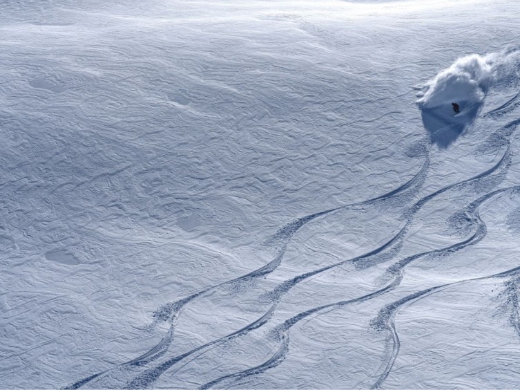
How to know if Heli-ski is for you?
Does the thought of your ski ability stop you from booking your big day out, in the powder playground of your dreams? You don’t have to be an extreme skier to have fun in the backcountry.

Queenstown vs Wanaka – Where’s your ideal base?
Queenstown or Wanaka? Bustling adventure hub or laid-back alpine escape—discover the key differences between these iconic Southern Lakes towns and why we love both.

Chasing winter with Harris Mountains Heli-Ski guides Mark Sedon and Peter Bilous Post
While New Zealand chilled out for summer, our heli-ski guides chased winter across the globe—from Antarctica to Alaska—proving the snow never really stops falling.

Aoraki Mount Cook, New Zealand
Ready to
start
Book your unforgettable experience today or contact
our team to organise your perfect day!


